OFS West Coast Currents
| Provider: | Center for Operational Oceanographic Products (NOAA) |
| Model scope: | North America West Coast |
| Update frequency: | every 24 hours |
| Resolution: | 2.4nm, 4.4km |
| Model duration: | 24 forecasts starting at 3 hrs, ending at 3 days |
| Parameters: | current, tide |
| GRIB model date: | Fri Apr 26 03:00:00 2024 UTC |
| Download date: | Fri Apr 26 07:31:30 2024 UTC |
| Download delay: | 4hr 31min |
Note: the Download delay is the amount of time required for the GRIB model to compute its forecast and then for the LuckGrib cluster to download the data and make it available. The LuckGrib delay is generally less than 10 minutes, the remainder of the delay is the model compute time.
Description
The Operational Forecast System (OFS) series of models is run by the National Ocean Service (NOS) and the National Weather Service’s (NWS), both a part of the National Oceanic and Atmospheric Administration (NOAA).
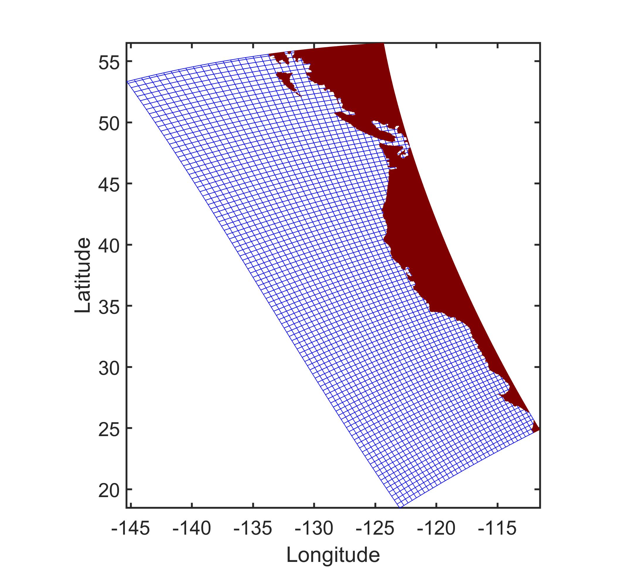 https://tidesandcurrents.noaa.gov/images/ofs/wcofs_grdmesh.jpg
The West Coast OFS model is calculated using a bathymetry following irregular grid which has over 350,000 grid nodes. In the image of the grid, above, only every 10th grid point is shown. The results of this computation are then sampled, by OFS, into a regular latitude / longitude aligned grid. This data on this regular grid are then converted to GRIB format by LuckGrib.
Additional information
For additional information, see: